We Are Proud Of Our SafeSurf Rating!

Arizona
Travels & Tours
Pictures, Photos, Images, & Reviews.
Blue Ridge Lake or Reservoir
George & Eve DeLange
Google Map To Blue Ridge Lake or Reservoir, Arizona
View Larger Map
 |
| Blue Ridge Lake or Reservoir, Arizona. Forest Service Map. |
|---|
 |
| Coconino National Forest Mogollon Rim Campgrounds. Forest Service Map. |
|---|

Click On Any Of The Following Links By Amazon.Com
For Books, Videos, & Lures For Trout Fishing. No Obligation!
 |
| Blue Ridge Lake or Reservoir, Arizona. Photo Taken: July 29, 2009. First View, West Entrance To Lake. |
|---|
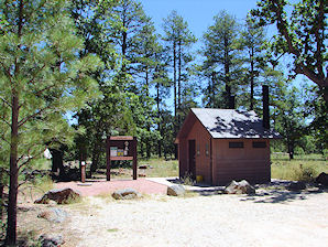
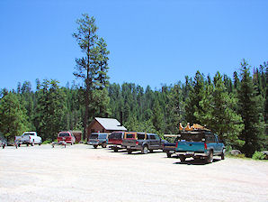
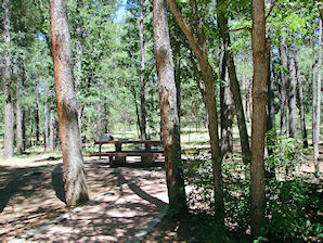
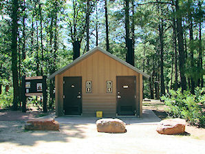
Blue Ridge Lake or Reservoir, Arizona is located at 6,604 feet, in the Coconino National Forest on the Mogollon Rim near Payson. It was created in 1965 when the Phelps Dodge, Inc., a large mining company in Arizona, constructed the Blue Ridge Dam to help meet its water needs. A water exchange agreement penned three years earlier promised the facilities to SRP, and in 2005 SRP took possession of the dam and its water production facilities. Blue Ridge Lake or Reservoir is a winding canyon shaped lake. It's water surface is about 9 miles long and about 70 acres in size, with an average depth of about 147 feet. The closest camping is located 2.5 miles away at Rock Crossing Campground. The graveled FR 751 road to the lake is closed in winter due to snow. Boat motors limited to a maximum of 10 horsepower. A Google Earth Map search marks the center of the Blue Ridge Lake Reservoir Dam at 34o 33' 16.27" N 111o 11' 01.94" W. Blue Ridge Reservoir is one of the more scenic reservoirs in the area, with trees going down to the water line. This narrow, winding body of water is nestled between thick forested canyon walls providing picture perfect water recreation in a secluded, wooded setting. Blue Ridge Reservoir is primarily a Rainbow Trout fishing lake, with some German Brown and some Brook Trout. Varying sizes of rainbow trout are stocked in the spring and early summer. The best way to catch the larger trout is fly fishing from a boat or float tube. Black Canyon Lake's season lasts between May and October of each year. Max. 10 hp (7.5 kW) Gas Motor or Single Electric Motors are required. Commonly seen are elk, bear, deer and eagles. There are two nearby campgrounds open from Memorial Day to mid-fall. The one closest to the lake is located 2.5 miles away at Rock Crossing Campground. It has 34 single unit sites, 2 double sites, tables, fire rings, and cooking grills, drinking water, toilets (vault type), a boat ramp, & hiking trails are nearby. From Payson travel north on S.R. 87 nine miles past Clint Well. From Clints Well, turn northeast (left) about 4 miles on AZ 87 to FR 751 then southeast 3 miles. The second on is at Blue Ridge Campground, which is a small campground with 10 sites, tables, fire rings, and cooking grills, drinking water, toilets (vault type). From Payson travel north on S.R. 87 nine miles past Clint Well to F.R. 138 turn right and drive about a mile to the campground.
How to get there: Take Highway 87 north from Payson toward Pine and Strawberry. The closest town Strawberry is 30 miles away. Then continue on Highway 87 to Clints Well on Forest Highway 3 (Lake Mary Road). Turn northeast (left) about 4 miles on AZ 87 to FR 751 then southeast about 6 more miles to the reservoir. All roads are paved except FR 751 which is graveled and suitable for passenger cars in most weather. FR 751 is closed and the reservoir is not accessible in winter.
For more information contact:
|
If you are planning to visit Blue Ridge Lake or Reservoir, Arizona; you may need to purchase some outdoor gear, boating equipment, or fishing gear.
We have some links to Priceline.com on this page since they are a good online source for hotels in this area. As you know, inflatable boats, inflatable kayaks and canoes are ideal for the many of the smaller lakes, streams, and rivers found in Arizona. In some cases they are even required. We have links to SeaEagle.com on this page since they are the world's premiere source for Inflatable Boats, Inflatable Kayaks and Canoes - Starting at just $299. We also have some links to Altrec.com on this page since they are a good online source for any outdoor camping gear and clothing that you may need. We of course, appreciate your use of the advertising on our pages, since it helps us to keep our pages active.
|

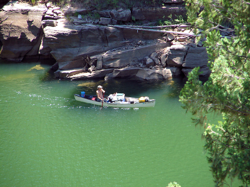 |
| Boating On Blue Ridge Lake or Reservoir, Arizona. Photo Taken: July 29, 2009. |
|---|
 |
| Boat Ramp Blue Ridge Lake or Reservoir, Arizona. Photo Taken: July 29, 2009. |
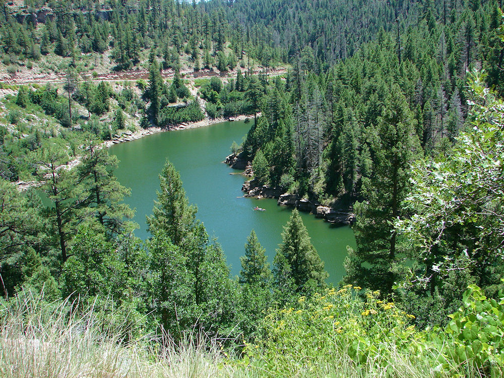 |
| Blue Ridge Lake or Reservoir, Arizona. Photo Taken: July 29, 2009. |
 |
| Blue Ridge Lake or Reservoir, Arizona. Photo Taken: July 29, 2009. |
 |
| Blue Ridge Lake or Reservoir, Arizona. Photo Taken: July 29, 2009. |
 |
| Blue Ridge Lake or Reservoir, Arizona. Photo Taken: July 29, 2009. |
 |
| Blue Ridge Lake or Reservoir, Arizona. Photo Taken: July 29, 2009. |
 |
| Blue Ridge Lake or Reservoir, Arizona. Photo Taken: July 29, 2009. |
 |  |
| Blue Ridge Lake Reservoir, Arizona. Rock Crossing Campground | Blue Ridge Lake Reservoir, Arizona. Rock Crossing Campground |
|---|---|
 |  |
| Blue Ridge Lake Reservoir, Arizona. Rock Crossing Campground | Blue Ridge Lake Reservoir, Arizona. Near Boat Ramp |
 |  |
| Blue Ridge Lake Reservoir, Arizona. Blue Ridge Campground | Blue Ridge Lake Reservoir, Arizona. Blue Ridge Campground |
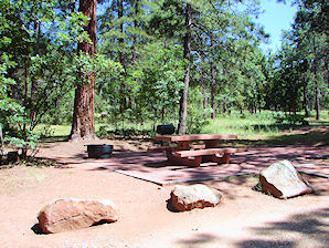 | 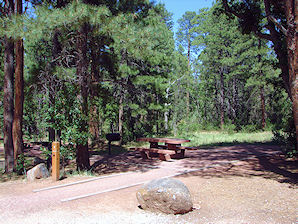 |
| Blue Ridge Lake Reservoir, Arizona. Blue Ridge Campground | Blue Ridge Lake Reservoir, Arizona. Blue Ridge Campground |
| Back To Rim Lakes Or Mogollon Rim Lakes Page
|
| Back To Arizona Tours Page
|
| Back To DeLange Home Page
Images And Text Copyright George & Eve DeLange
|
