Arizona
Travels & Tours
Pictures, Photos, Images, & Reviews.
Horseshoe Lake
George & Eve DeLange
Google Map To Horseshoe Lake, Arizona.
View Larger Map

Click On Any Of The Following Links By Amazon.Com
For Books, Videos, & Lures For Bass Fishing. No Obligation!
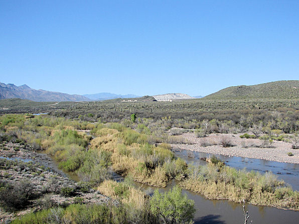 |
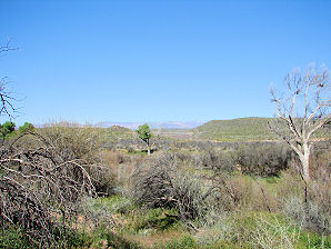
| Horseshoe Dam, Arizona. From Four Miles South Verde River In Foreground. Photo Taken: March 16, 2009. |
|---|
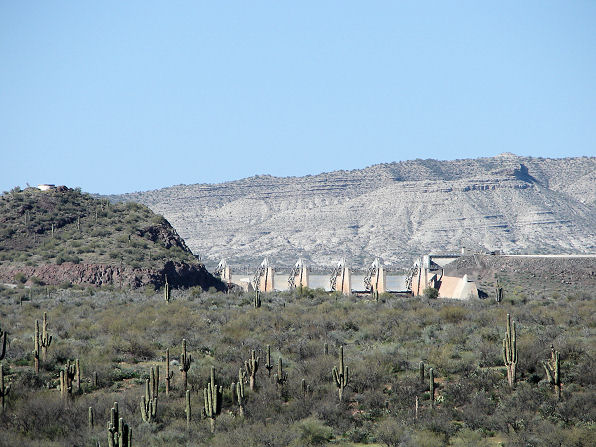 |
| Horseshoe Dam, Arizona. From Four Miles South Close Up Photo Taken: March 16, 2009. |
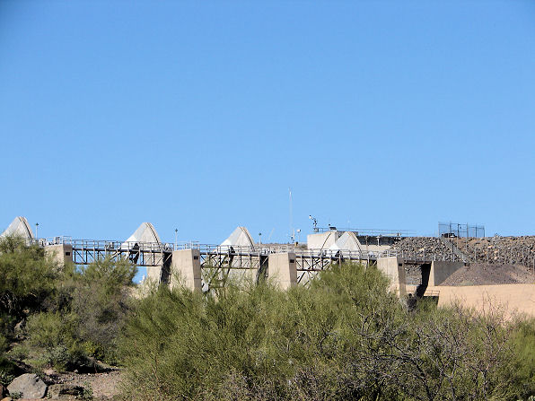 |
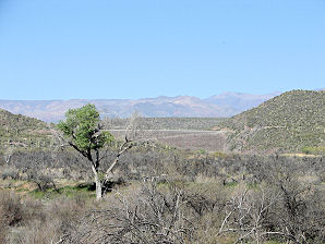
| Horseshoe Dam, From Horseshoe Dam Vista. Arizona. Photo Taken: March 16, 2009. |
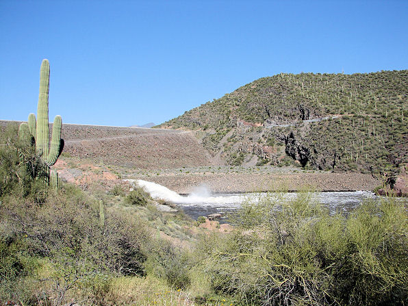 |
| Horseshoe Dam Spillway, Arizona. From South Horseshoe Dam Vista. Water Flowing Into Verde River. Photo Taken: March 16, 2009. |
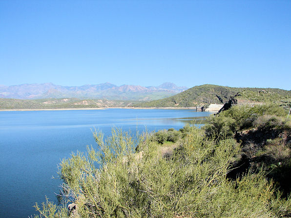 |
| Horseshoe Lake & Upper Horseshoe Dam. Photo Taken: March 16, 2009. |
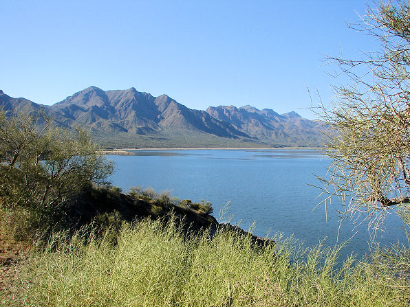 |
| Horseshoe Lake Shoreline Looking North North-West, Photo Taken: March 16, 2009. |
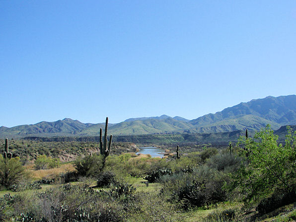 |
| Horseshoe Lake Catfish Point, Photo Taken: March 16, 2009. |
 | 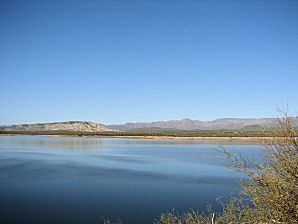 |
| Looking North, Horseshoe Lake | Looking North, Horseshoe Lake |
|---|---|
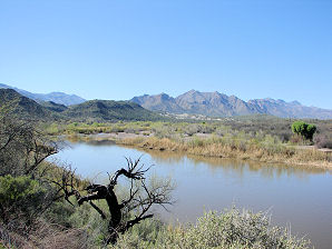 | 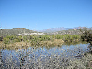 |
| Verde River Below Horseshoe Lake | Verde River Below Horseshoe Lake |
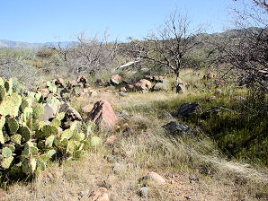 | 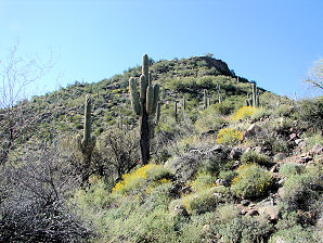 |
| Hohokam Ruin Walls Horseshoe Lake | Hohokam Ruin, Horseshoe Lake Located At Top Of Hill |
 |  |
| Horseshoe Campground Horseshoe Lake | Horseshoe Campground Horseshoe Lake |
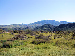 | 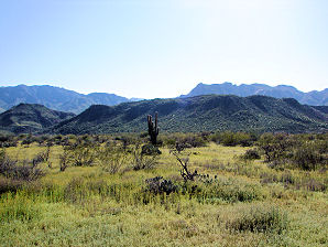 |
| Horseshoe Campground Horseshoe Lake | Horseshoe Campground Horseshoe Lake |
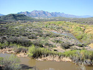 | 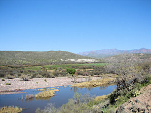 |
| Horseshoe Lake Dam Mesquite Recreation Area | Horseshoe Lake Dam Farm Area |
Prior to modern man�s coming into Arizona, almost all of the rain that came to Arizona, eventually flowed into the Colorado River and then into the area of Mexico, known as, �The Sea of Cortez.� Now, the only perennial river in Arizona that still flows from its natural source to its mouth is �The Verde River.� The Verde River forms its waters from snowmelt in the mountains, as well as from our seasonal summer monsoons, beginning at an elevation of about 4,400 feet near Sullivan Lake, where the Big Chino Wash and the Williamson Valley Wash merge south of the city of Paulden in the Big Chino Valley of Yavapai County. The Verde River then flows south by southeast for about 170 miles to its confluence with the Salt River, located about three miles east of Granite Reef Dam, just northeast of Scottsdale, and Phoenix. During World War II, the Phelps-Dodge Corporation built Horseshoe Dam which was completed in 1946. Horseshoe Dam is named for the horseshoe-shaped bend in the Verde River at the dam site. Horseshoe Dam is located in Coconino County. During World War II, in 1944, the Phillips Dodge Corporation began the construction of Horseshoe Dam as part of a water exchange agreement. Horseshoe Dam forms Horseshoe Lake. Horseshoe Dam is owned and operated today by the Salt River Project (SRP). A Google Earth Map search marks the center of the Horseshoe Earthen Dam at 33o 58' 65.93" N 111o 42' 45.94" W. Spillway gates, funded by the city of Phoenix, were added in 1949 to establish water rights for city water users. The earthen dam is 144 feet tall and 1,500 feet long, including the spillway. This dam is lacking in hydroelectric generating capabilities, unlike the dams located on the nearby Salt River. Bartlett Dam was built just below Horseshoe Dam in 1939. It was built by the Salt River Project (SRP). Bartlett Dam is about 800 feet long, and about 305 feet high and was built between 1936 and 1939. The dam forms Bartlett Lake as it slows the passage of the Verde River waters. It was named after Bill Bartlett, a government surveyor. This multiple - arch dam is also lacking in hydroelectric generating capabilities, unlike the dams located on the nearby Salt River. Bartlett Dam is also owned and operated today by the Salt River Project (SRP). Horseshoe Lake is a man-made reservoir that was formed by the Horseshoe Dam on the Verde River in Arizona. Since Horseshoe Lake is located inside the Tonto National Forest, the recreational facilities located there are managed by the Tonto National Forest. As the Verde River flows into Horseshoe Dam, the area is heavily vegetated with reeds, bulrushes, cottonwood, willow trees, and desert scrub. This, riparian area still offers an enjoyable and scenic trip through an area filled with wildlife, including many species of fish, riparian vegetation indigenous to the Sonoran desert and best of all very little to no signs of civilization or commercial development. Visitors to the area may see mule deer, bald eagles, javelina, coyotes, snakes, lizards, chuckwalla, and many desert plants, including the saguaro, mesquite, and ocotillo. The Horseshoe Lake recreation site is available year-round for camping (14 units), camp trailers, picnicking, fishing and boating. There are two public camping areas along the Verde River below Horseshoe Dam at Horseshoe Campground, which is adjacent to Fisherman's Point and Mesquite Campground just south of Fisherman's Point. There are two additional public campgrounds available near the top of Bartlett Reservoir at Bartlett Flats and SB Cove. Horseshoe Lake is about five miles long with about 27 miles of shoreline. It has a maximum depth of about 77 feet. However, boating and fishing at Horseshoe Lake depends on the regular fluctuations in water elevations. It is routine for the SRP to almost drain the Horseshoe Lake Reservoir during the summer, when irrigation and domestic water requirements dictate, to provide water for the Phoenix metropolitan area. The Ocotillo Boating Site provides a launch ramp for smaller boats. When the Reservoir is low, the boat ramp is entirely out of the water. The entire lake is closed to water skiing, parasailing and the use of personal watercraft (Jet Skis). Temperatures range from lows near 25 degrees F. during the months of December and January to highs that may exceed 115 degrees F. from July through September. Precipitation generally ranges from 2 to 8 inches per year. The only approach by road is from the west, by driving through the communities of Cave Creek and Carefree. Being quite far from the larger cities, Horseshoe Lake and Bartlett Lake receive fewer visitors, and they have less litter than other lakes with easier access. Once you leave Cave Creek and Carefree it is about 22 more miles to Bartlett Lake. About nine miles before you arrive at Bartlett Lake there is a junction in the road leading north to the more remote Horseshoe Lake. The paved road on FR 205 into Horseshoe Lake; becomes a dirt, gravel road about 2.1 miles from the junction. This road can become difficult for some drivers, especially when there has been a rain. A 2 wheel drive vehicle with high clearance can make the drive, but the road is rough and washboarded. There is an interesting Hohokam Ruin built sometime between 1100 AD to 1300 AD located at approximately 33o 57' 37.24" N 111o 42' 24.45" W. There is evidence at that site of a sun watch station for astronomical purposes. The ruins of another pueblo, Brazaletes Pueblo, are also easily visited from the vicenity of Horseshoe Lake, in the Saint Clair Mountains.
|
If you are planning to visit Horseshoe Lake. And if you are coming from outside of Arizona, you could fly into the Phoenix Sky Harbor International Airport and then rent a car. There are many hotels and motels in the area. We have some links to Priceline.com on this page since they can arrange all of your air flights, hotels and car. In addition, visitors to the lake, may need to purchase some outdoor gear, boating equipment, or fishing gear. We also have some links to Altrec.com on this page since they are a good online source for any outdoor camping gear and clothing that you may need. We of course, appreciate your use of the advertising on our pages, since it helps us to keep our pages active.
|
We Are Proud Of Our SafeSurf Rating!
Click On Any Of The Following Links By Amazon.Com
For Camping Gear. No Obligation!
Click On Any Of The Following Links By Amazon.Com
For Books, Videos, & Lures For Bass Fishing. No Obligation!
| Back To "Valley Of The Sun" Lakes or "Phoenix Area" Lakes Page.
|
| Back To Arizona Tours Page
|
| Back To DeLange Home Page
Images And Text Copyright George & Eve DeLange
|

