We Are Proud Of Our SafeSurf Rating!

Arizona
Travels & Tours
Pictures, Photos, Images, & Reviews.
Mogollon Rim Road Scenic Drive, Forest Road 300
General "George" Crook Historical Recreational Trail.
George & Eve DeLange
Google Map To Mogollon Rim Road Scenic Drive, Forest Road 300
About Seven Miles East Of Christopher Creek, Arizona.
Near The Mogollon Rim Visitor's Center
p>
View Larger Map

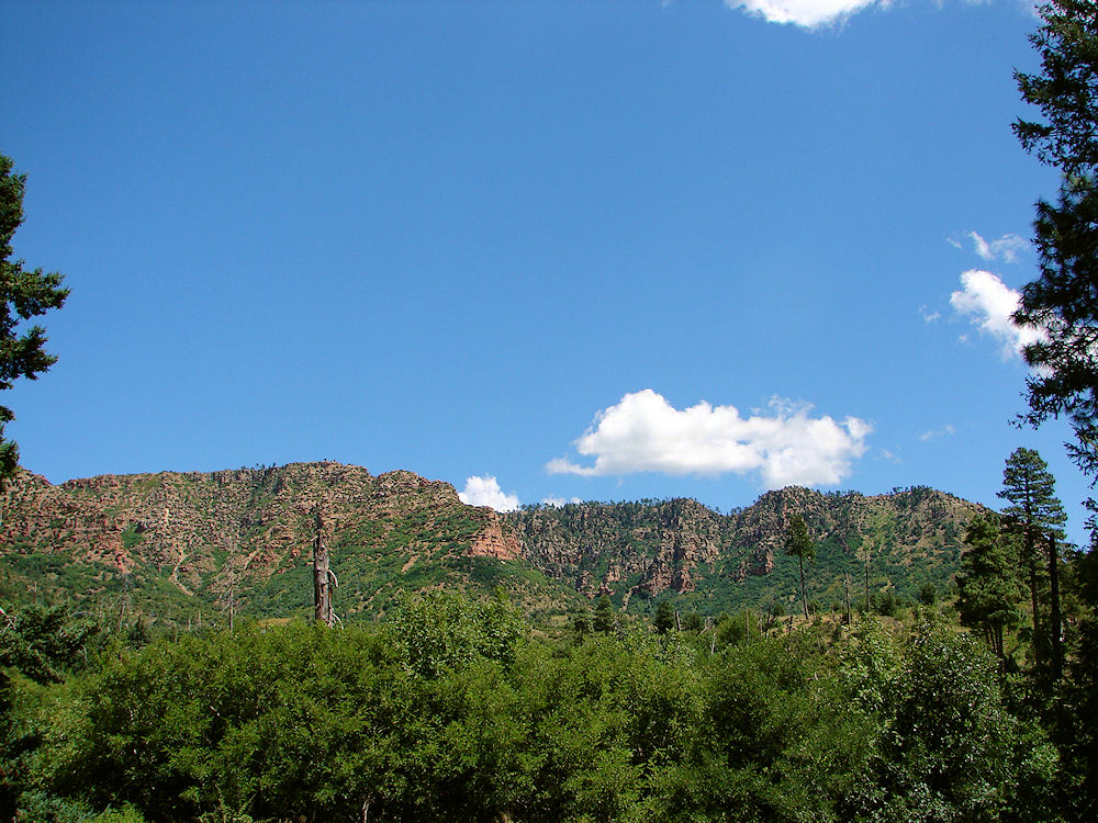 |
| View Of The Mogollon Rim, Arizona. Photo Taken From 1000 Feet Below On August 23, 2009. |
|---|
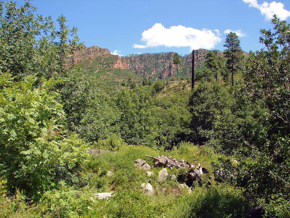 |
| View Of The Mogollon Rim, Arizona. Photo Taken From 1000 Feet Below On August 23, 2009. |

The Mogollon Rim Road, Rim Road, General "George" Crook Historical Recreational Trail, or Forest Road 300; whichever name you wish to use, is one way to see the Mogollon Rim area near Payson, Arizona. But, the area on the western 30 miles side of the trail is no longer as pretty because of the "Dude Fire" in 1990. It destroyed some of the nicest areas of the Tonto National Forest, And Coconino National Forest in the Payson area. We would no longer recommend that part of the trail, since it is simply too depressing to look at! We have placed a Google Map of the area on this page and you can easilly see the huge damaged area on the map. We recall how nice the area used to be, but we guess that it will take over 200 years for it to become beautiful again! The Dude Fire was probably the worst forest fire in recorded history and it destroyed a large part of the forest along the Mogollon Rim near Payson. "At approximately 12:30 PM, MST, on June 25, 1990, a dry lightning storm triggered a fire beneath the Mogollon Rim about 10 miles northeast of Payson, Arizona. This area is located on the Payson Ranger District of the Tonto National Forest. Conditions were such (high temperatures, low relative humidity, large accumulation of fuels, and several years of below normal precipitation) that the fire burned quickly, and within a matter of hours the Dude Fire had become a raging inferno. Before the fire was declared controlled 10 days later, over 24,000 acres had burned in 2 national forests, 63 homes were destroyed, and six firefighters were killed." To avoid most of the burned area we suggest taking Arizona 87 out of Payson, to the northeast through Pine, and Strawberry towards Winslow, AZ. After passing Lake Mary Road (FH3), drive an additional 9.4 miles, turning right onto FR 95 (just before mile marker 300). (It is past the Blue Ridge Campground by about 1 mile.) (When you turn off of Arizona 87, you will be going south onto Forest Road 95.) Continue on Forest Road 95 until it turns onto Forest Road 96, near East Clear Creek, which then turns onto Forest Road 137. Continue on Forest Road 137 until it runs into Forest Road 300 (The Rim Road). Then take Forest Road 300 (The Rim Road) all the way east until it runs into Arizona 260 into Payson along bottom of the Mogollon Rim. A park ranger gave us these directions and they worked just fine! A copy of the map she gave us is below. It is called: ARIZONA TRAIL - BLUE RIDGE SEGMENT.
|
If you are planning to visit the Payson area to tour the Mogollon Rim, and you are coming from outside of Arizona, you could fly into Phoenix and then rent a car. Payson is about 90 miles north of downtown Phoenix, & the Shoofly Village is about 4 miles north of downtown Payson, Arizona, via Arizona Route 87. There are hotels and motels in Payson. If you need a place to stay; Priceline.com can arrange that too. We have some links to Priceline.com on this page since they can arrange all of your air flights, hotels and car. You may need some outdoor clothing and equipment, if you plan to visit the Sedona area to tour the Shoofly Village Site. We have some links to Altrec on this page since they are a good online source for outdoor gear. We of course, appreciate your use of the advertising on our pages, since it helps us to keep this page active.
|
 |
| Forest Rangers Map To Forest Road 300 - Mogollon Rim Road, Arizona. |
|---|

Google Map Of Dude Fire Burned Area
Near Western End Of Forest Road 300 Arizona.
Light Color Is Burn Area!
View Larger Map
The Below Photos Are Arranged In Reverse Order Of Our Actual Tour.
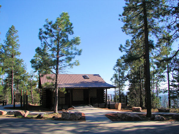 |
| Mogollon Rim Visitor's Center At A1 Fulton Point Across From Forest Road 300 Turnoff From Arizona Highway 260, Arizona. Photo Taken: May 11, 2009. |
|---|
 |
| View From Mogollon Rim Visitor's Center At A1 Fulton Point Across From Forest Road 300 Turnoff From Arizona Highway 260, Arizona. Photo Taken: May 11, 2009. |
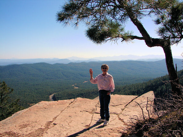 |
| Audrey DeLange At Mogollon Rim Vista Trail, Arizona. Photo Taken: May 11, 2009. Arizona Highway 260 Below The Mogollon Rim |
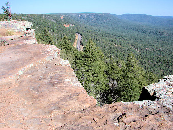 |
| View From Mogollon Rim Vista Trail, Arizona. Photo Taken: May 11, 2009. |
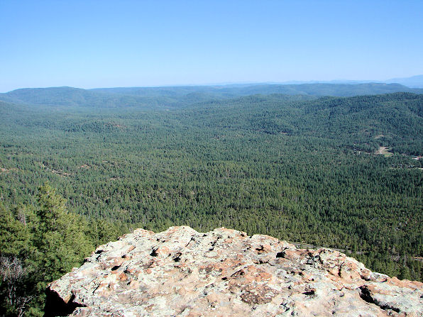 |
| View From Mogollon Rim Vista Trail, Arizona. Photo Taken: May 11, 2009. |
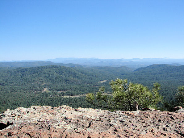 |
| View From Mogollon Rim Vista Trail, Arizona. Photo Taken: May 11, 2009. |
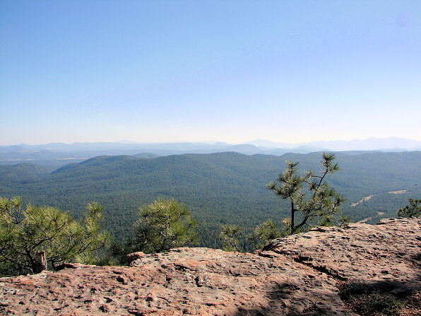 |
| View From Mogollon Rim Vista Trail, Arizona. Photo Taken: May 11, 2009. |
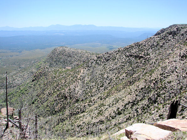 |
| Dude Fire Destroyed Tonto National Forest, And Coconino National Forest, Arizona. Photo Taken: May 11, 2009. |
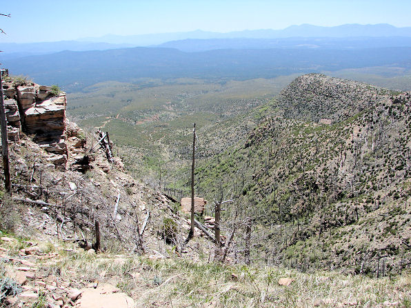 |
| Dude Fire Destroyed Tonto National Forest, And Coconino National Forest, Arizona. Photo Taken: May 11, 2009. |
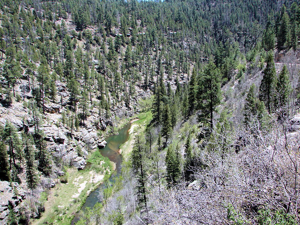 |
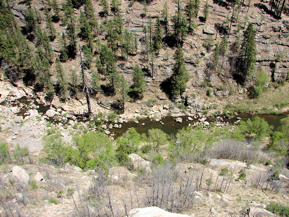
| East Clear Creek, Coconino National Forest, Arizona. Photo Taken: May 11, 2009. |
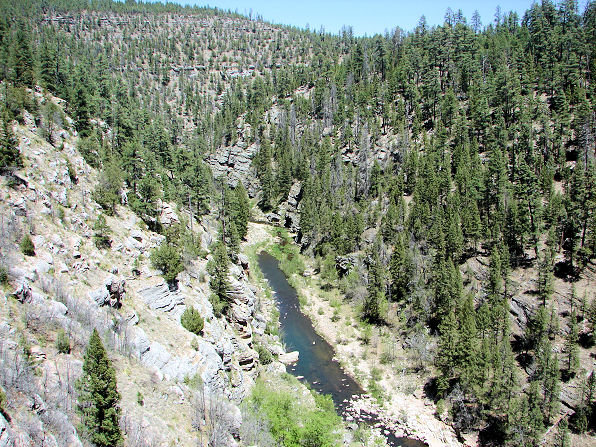 |
| East Clear Creek, Coconino National Forest, Arizona. Photo Taken: May 11, 2009. |
 |
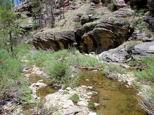
| East Clear Creek, Coconino National Forest, Arizona. Photo Taken: May 11, 2009. |
 |
| East Clear Creek, Coconino National Forest, Arizona. Photo Taken: May 11, 2009. |
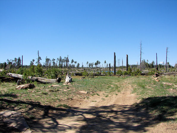 |
| Dude Fire Destroyed Tonto National Forest, And Coconino National Forest, Arizona. Photo Taken: May 11, 2009. |
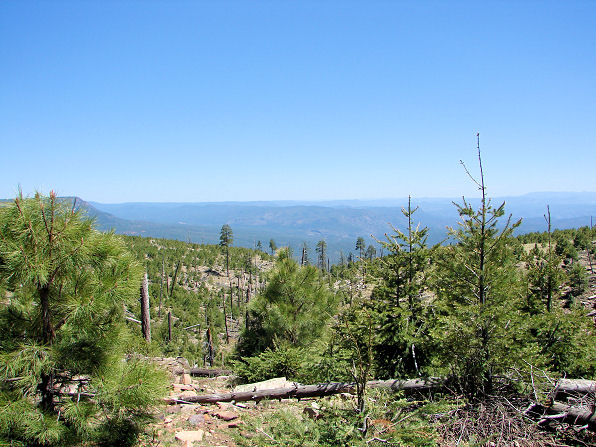 |
| Dude Fire Destroyed Tonto National Forest, And Coconino National Forest, Arizona. Photo Taken: May 11, 2009. |
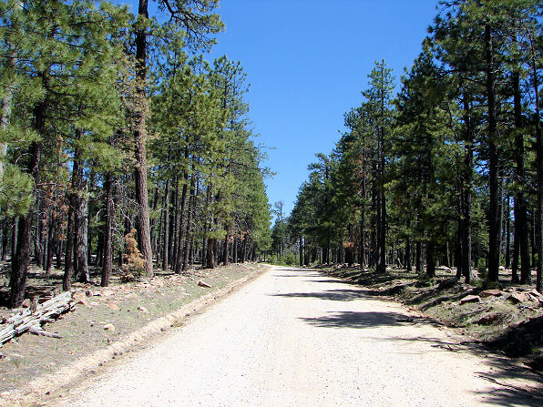 |
| We Are Now Driving East On The Mogollon Rim Road Having Just Turned Off Of Forest Road 137. Photo Taken: May 11, 2009. |
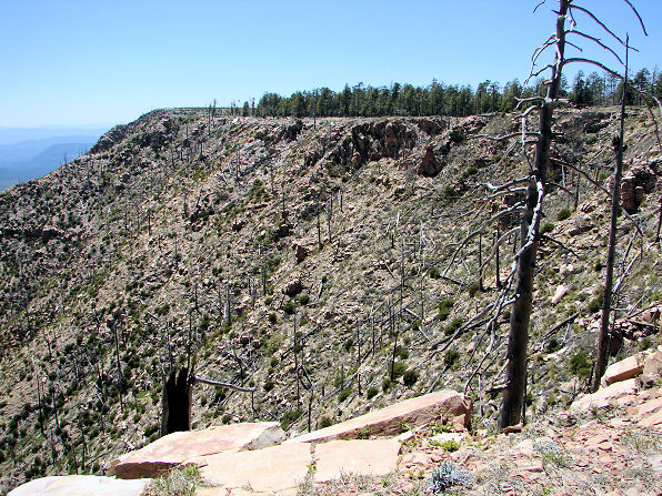 |
| Dude Fire Destroyed Tonto National Forest, And Coconino National Forest, Arizona. Corner Of Forest Road 137 & Mogollon Rim Road. Photo Taken: May 11, 2009. |
 |
| Dude Fire Destroyed Tonto National Forest, And Coconino National Forest, Arizona. Corner Of Forest Road 137 & Mogollon Rim Road. Photo Taken: May 11, 2009. |
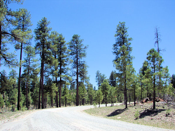 |
| Leaving Coconino National Forest, Blue Ridge Ranger Station On Forest Road 95, Arizona. Photo Taken: May 11, 2009. |

GETTING THERE:
From the west Valley area: Take Interstate 17 north to Camp Verde and then the General Crook Trail highway east to Arizona 87, proceeding north on 87 for approximately five miles to the unpaved Mogollon Rim Road (Forest Road 300).
From the east Valley area there are two options.: One is to take Arizona 87 north to Payson and your first option would be to continue on Arizona 87 up past Strawberry to the unpaved Mogollon Rim Road (Forest Road 300).
Or start at the Eastern Rim Road: To reach the road's eastern segment, take U.S. 60 from the Superstition Freeway through Globe and the Salt River Canyon to Show Low. Then take Arizona 260; otherwise also known as the "Rim Road" or "Payson - Heber Highway" out of Showlow, Arizona toward Payson, Arizona. You will find the turnoff onto the unpaved west side Mogollon Rim Road (Forest Road 300) about seven miles east of Christopher Creek, Arizona. There is a section of the Mogollon Rim Road on the east side of Arizona 260 that is paved for about three miles. There are very few to no tourist facilities along the Rim Road, but the nearby towns, such as Camp Verde, Payson, Heber, Overgaard and Show Low, can provide for almost every tourist need. Warning!! The unpaved Mogollon Rim Road is a little rough, but easy to drive in any high clearance car or truck. It is dangerous, when wet or when there is snow. The road does come very close to some very steep cliffs that drop off near the road. Be Careful! Take it slow and easy!
IF YOU WANT TO DRIVE ON PAVED ROAD ONLY. HERE IS OUR SUGGESTION:
From the Visitor's Center you can get some very nice views and if you wish you can take paved roads towards the top of the Mogollon Rim at that point. Then simply drive from the Visitor's Center across Arizona 260 to Forest Road 300. Forest Road 300 then is paved for about 3 miles as it takes you to several view points, along the Vista Trail; where you can park and walk to the edge of the Mogollon Rim. NOTE: Our first seven photos are of that area of the trail. Its quick, Easy, and Pretty! BE CAREFUL! There are no guard rails at the view points along the Vista Trail and the drop offs are for several hundred feet! Also, when the wind is blowing it can cause you to lose your balance and make you fall. With all of that being said, the Vista Trail is paved and wheelchair accessible. Handicap parking is available for both the viewpoint and trail. A private, handicap accessible restroom is located on the east end of FR 300 (near where it meets hwy 260), on the north side of the road. There is also a wheelchair accessible restroom located just outside the Visitor's Center.
|

We Are Proud Of Our SafeSurf Rating!

Click On Any Of The Following Links By Amazon.Com
For Books, & Videos About Touring Arizona. No Obligation!
Click On Any Of The Following Links By Amazon.Com
For Camping Gear. No Obligation!
To Shoofly, Ancient Sinagua Ruins, Payson, Arizona
Back To Arizona Tours Page
Back To DeLange Home Page
For Camping Gear. No Obligation!
| To Shoofly, Ancient Sinagua Ruins, Payson, Arizona
|
| Back To Arizona Tours Page
|
| Back To DeLange Home Page
|


