Arizona Hikes, Travels & Tours
Pictures, Photos, Images, & Reviews.
Lower Salt River Recreation Area
Google Map To Lower Salt River Recreation Area, Arizona.
View Larger Map

Click On Any Of The Following Links By Amazon.Com
For Books, Videos, & Lures For Bass Fishing. No Obligation!
 |
| Map Of The Lower Salt River Recreation Area. Arizona. Courtesy Of Tonto National Forest |
|---|
 |
| Red Mountain. Lower Salt River Recreation Area. Arizona. Tubing, Biking, Hiking, Travels & Tours, Pictures, Photos, And Information. |
|---|
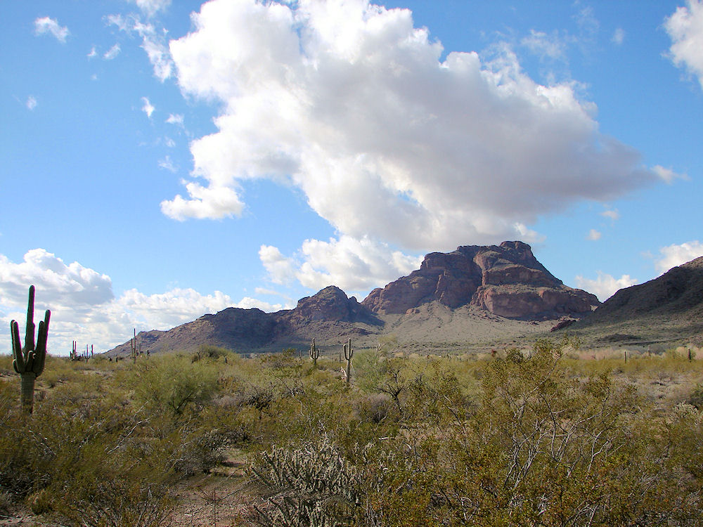 |
| Red Mountain. Lower Salt River Recreation Area. Arizona. Tubing, Biking, Hiking, Travels & Tours, Pictures, Photos, And Information. |
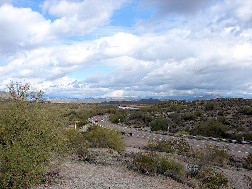 |
| Bush Highway. Lower Salt River Recreation Area. Arizona. Tubing, Biking, Hiking, Travels & Tours, Pictures, Photos, And Information. |
 |
| Granite Reef Dam. Lower Salt River Recreation Area. Arizona. Tubing, Biking, Hiking, Travels & Tours, Pictures, Photos, And Information. |
 |  |
| Phon D Sutton Camping Area | Phon D Sutton Camping Area |
|---|---|
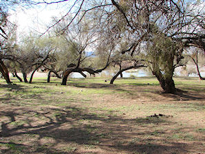 | 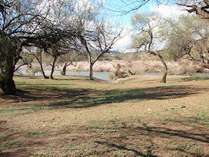 |
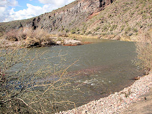
| Blue Point Recreation Area | Blue Point Recreation Area |
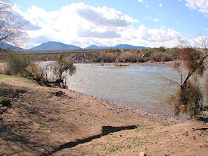 | 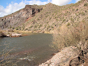 |
| Blue Point Recreation Area | Blue Point Recreation Area |
 | 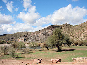 |
| Blue Point Recreation Area | Blue Point Recreation Area |
The very popular tubing area near Phoenix, known as the Lower Salt River Recreational Area; begins immediately below the Stewart Mountain Dam at Saguaro Lake, and then continues down to the Granite Reef Dam in Maricopa County. From there it runs down to the Tempe Town Lake in Tempe, Arizona. It is a run of about 12.5 miles. The current is typically very gentle on this flatwater section of the Salt River. The elevations on the river run from about 1,400 feet at Saguaro Lake Resort to 1,310 feet at Granite Reef. This part of the Salt River flows through the southern part of Tonto national Forest, including the Salt River Indian Reservation located near Fort McDowell. This part of the river is just a few miles north of the Greater Phoenix Area and is easily accessible to use as a day trip for tubers; and paddlers in canoes, kayaks and on rafts. It is not uncommon to see several people on tubes that are strapped together, enjoying a cold drink on the river. For those interested in the scenery, you will see many of the plants and flowers of the Sonoran Desert, many birds of prey, and occasionally a few other small animals. The area is home to nesting bald eagles, egrets, herons, and ospreys. There are also coyotes, foxes, mountain lions, and occasionally herds of horses from the local Fort McDowell Reservation. Estimated Floating Times: Saguaro Lake Ranch to Water Users 1/2 hr. Water Users to Blue Point Bridge 1 1/2 hrs. Blue Point Bridge to Goldfield 2 1/2 hrs. Goldfield to Phon D Sutton 1 1/2 hrs. Phon D Sutton to Tuber's Landing 2 1/2 hrs. Granite reef rec site is as far as you can go down the river. Camping / Picnicking: Camping is allowed at Water Users, Coon Bluff, Goldfield and Phon D. Sutton. The fee is $9-$11 per site. You can picnic and fish all along the river, including Granite Reef Dam. For tubers there is a commercial tubing and shuttle service that offers bus rides from the lower end of the area up to just below Saguaro Lake. Contact Them For More Information.
Salt River Tubing Recreational & Shuttle Services:
GETTING THERE:
From Mesa, travel east for 7 miles on Superstition Freeway (US 60) to Power Road/Bush Hwy/Forest Road (FR) 204 and turn north. The following recreation sites are accessible from the Bush Hwy: Granite Reef RAP:
Follow the Bush Highway for 7 miles to the site. This is the first site next to the river coming from the west on Bush Highway; it
is the last point to leave the river if you are coming down the river.
Tubers� Landing RAP (bus stop #6):
Follow the Bush Highway for 7.2 miles to this RAP (a short distance beyond the Granite Reef RAP).
Phon D Sutton RAP (bus stop #5):
Follow the Bush Highway for 9 miles to Forest Road (FR) 169, turn north (left). Follow FR 169 one mile
to the site
Coon Bluff RAP:
Follow the Bush Highway for 10 miles. Turn north (left) on Forest Road (FR) 204E and follow it for a mile to the site.
Goldfield RAP (bus stop #4):
Follow the Bush Highway for 11 miles to Forest Road (FR) 204A and turn left. Follow FR 204A for one
mile to the site.
Foxtail RAP:
Follow the Bush Highway for 12 miles to the RAP.
Blue Point RAP (bus stop #2):
Follow the Bush Highway for 13 miles to the site.
Water Users RAP (bus stop #1):
Follow thr Bush Highway for 15 miles to the site.
Saguaro Lake Ranch RAP: Follow the Bush Highway for 15.5 miles to the resort.
For More Information: Contact the Mesa Ranger Station, (Tonto National Forest) about permits.
|
If you are planning to visit Salt River Canyon. And if you are coming from outside of Arizona, you could fly into Phoenix, Arizona and then rent a car.
There are many hotels and motels in both areas and if you need a place to stay; Priceline.com can arrange that for you. We have some links to Priceline.com on this page since they can arrange all of your air flights, hotels and car. In addition, you may need to purchase some outdoor camping gear and clothing. We also have some links to Altrec.com on this page since they are a good online source for any outdoor camping gear and clothing that you may need. Look at our links to SeaEagle.com. They offer some great Inflatable Boats at very competitive prices. They are great boats to use on the Salt River and our Arizona Lakes. We of course, appreciate your use of the advertising on our pages, since it helps us to keep our pages active. Your order must be placed from a link on our page for us to get credit.
|
Click On Any Of The Following Links By Amazon.Com
For Camping Gear. No Obligation!
Click On Any Of The Following Links By Amazon.Com
For Books, Videos, & Lures For Bass Fishing. No Obligation!

Click On Any Of The Following Links By Amazon.Com
For Books, Videos, & Lures For Bass Fishing. No Obligation!
or "Phoenix Area" Lakes Page.
Images And Text Copyright George & Eve DeLange
