Presa Netzahualcoyotl, & Malpaso Dam.
Chiapas, Mexico.
Travel Or Tour, Pictures, Photos, Images,
Advice, Information, Reviews.
George & Eve DeLange
Google Map To Presa Netzahualcoyotl, Chiapas, M�xico.
View Larger Map
Click On Any Of The Following Links By Amazon.Com
For Books Or Videos About Touring In Mexico. No Obligation!
Click On The Bottom Link Marked GO, Then Look At The Bottom Of The Page That Comes Up.
There You Will See Travel Agencies That Are Recommended By Amazon.Com
For Touring In Mexico. No Obligation!
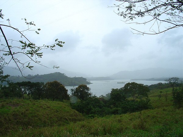 |
| Presa Netzahualcoyotl, Chiapas, M�xico. |
|---|
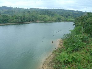
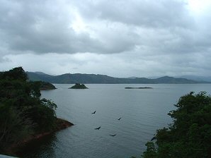
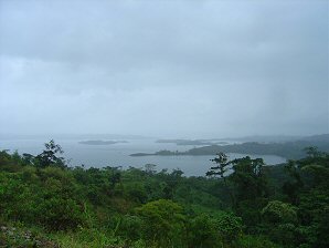
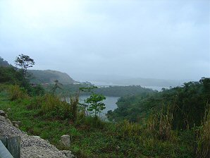
Presa Netzahualcoyotl (PRAI-sah net-zah-hwahl-KO-yo-tuhl), in W Chiapas, Mexico, 7 mi/12 km E of the Guerrero border, and 9 mi/15 km NW of Tuxtla Gutierrez, on the Grijalva R. Max. capacity 17 million cu yd/13 million cu m. Built for irrigation, controlling waterways, and generating electricity. Also known as Malpaso Dam. Spanish R�o Grijalva, river in southeastern Mexico. Its headstreams, the largest of which is the Cuilco, rise in the Sierra Madre of Guatemala and the Sierra de Soconusco of Mexico. The Grijalva flows generally northwestward through Chiapas state, where it is known locally as the R�o Grande de Chiapa, or the R�o Chiapa. After leaving a lake created by the Malpaso Dam, it turns northward and� GPS Coordinates: 17�37'45 '' - 16�46'12 '' N , 93�58'48 '' - 93�03'00 '' W
|
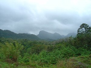 | 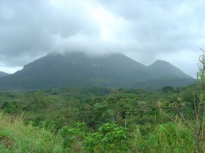 |
| Presa Netzahualcoyotl. | Presa Netzahualcoyotl. |
|---|---|
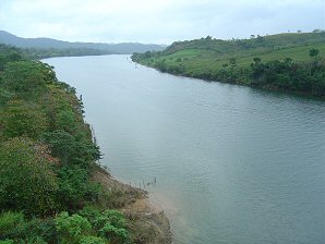 |  |
| Presa Netzahualcoyotl. | Presa Netzahualcoyotl. |
 |  |
| Presa Netzahualcoyotl. | Presa Netzahualcoyotl. |
 | 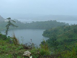 |
| Presa Netzahualcoyotl. | Presa Netzahualcoyotl. |
We Are Proud Of Our SafeSurf Rating!
Click On The Link Below To See Good Maps Of Mexico
The Locals, ( Taxi Drivers Included ) Use the "Guia Roji Mexico Road Atlas"
We Highly Recommend It!!!
If You Drive Your Car Into Mexico
You Must Have Mexican Auto Insurance!
American Auto Insurance Is Not Recognized By Mexico Law!
You Can Go To Jail, If You Have A Wreck & No Mexican Insurance!
Click On This Link
To Purchase Auto Insurance In Mexico. No Obligation!
Here Are Some Links To The Very Best & Most Popular Items Sold On Amazon.Com
To Learn More! Click The Links Below. No Obligation, Of Course!
Other Mexico Web Pages !
To Learn More! Click The Links Below. No Obligation, Of Course!
Other Mexico Web Pages !


