Arizona
Travels & Tours
Pictures, Photos, Images, & Reviews.
Long Lake
Soldiers Lake
Soldiers Annex Lake
Google Map To Long Lake, Soldiers Lake, & Soldiers Annex Lake, Arizona
View Larger Map
Click On Any Of The Following Links By Amazon.Com
For Books, Videos, & Lures For Trout Fishing. No Obligation!
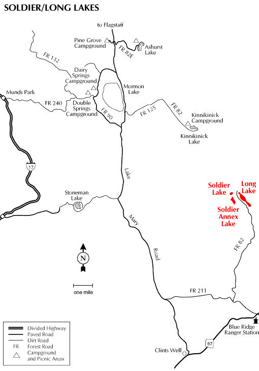 |
| Long Lake, Soldiers Lake, & Soldiers Annex Lake, Arizona. Forest Service Map. Mogollon Rim Ranger District in Coconino County, Arizona. |
|---|

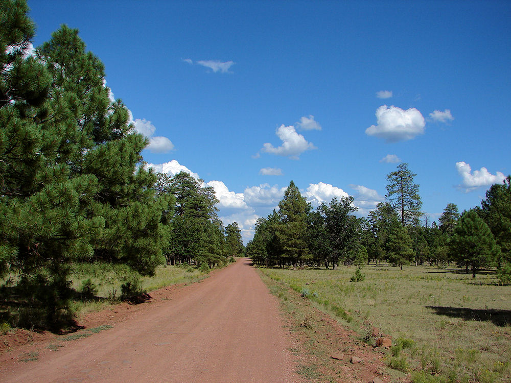 |
| Forest Road 211 To Long Lake, Soldiers Lake, & Soldiers Annex Lake, Arizona. Photo Taken: August 23, 2009. |
|---|
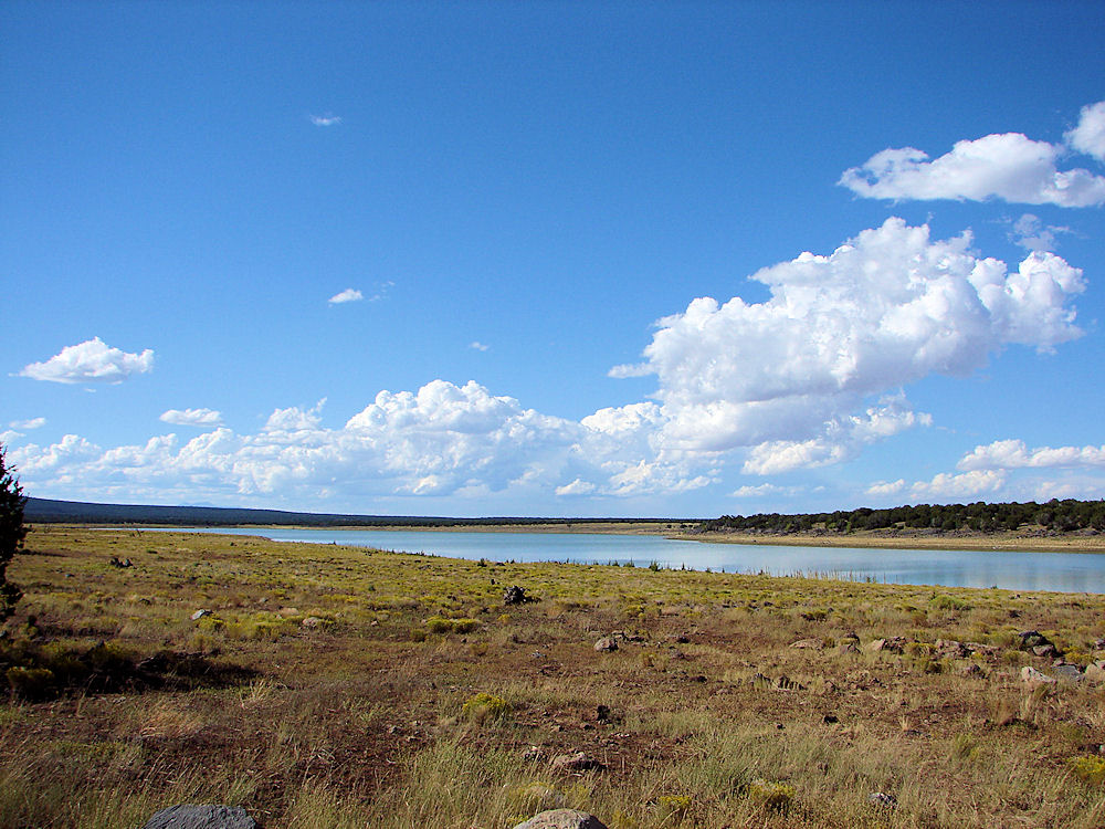 |
| Long Lake, Arizona. Photo Taken: August 23, 2009. |
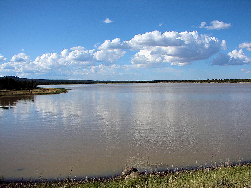 |
| Soldiers Lake, Arizona. Photo Taken: August 29, 2009. |
Long Lake, Soldiers Lake, & Soldiers Annex Lake: Long Lake, Soldiers Lake, & Soldiers Annex Lake are three shallow fishing lakes located in open grassland, dotted with volcanic rock, Pinyon and Juniper trees at about 6,780 feet elevation.. Soldier and Soldier Annex Lakes provide Bass, Bluegill, and Catfish fishing, while Long Lake boasts both Trout and Northern Pike in addition to Bass, Walleye, and Panfish. In addition, these lakes serve forest visitors as places where they can set up a "dispersed" primitive camp and then go fishing. There are no developed campgrounds at these lakes. The nearest developed campground is Blue Ridge Campground which is open from Memorial Day to Labor Day. Due to their small sizes and close proximity to each other we will feature all three lakes on this one page. A low clearance car can make it to Long Lake, but be careful! Do not take a low clearance car to Soldiers Lake or Soldiers Annex Lake!! You won't make it!! 4x4's may even have some trouble! How To Get To The Lakes: From Flagstaff: Drive 48 miles south of Flagstaff on Forest Highway 3 (Lake Mary Road). Turn east (left) on FR 211. Follow FR 211 about 8 miles to FR 82 then turn left (north) 12 miles to Long Lake. From Phoenix going north on Hwy 87, turn west (left) on FR 211 about a quarter mile north of the Blue Ridge office (about milepost 300). Turn right about 3.5 miles at the FR 82 intersection and then 12 miles to the lake. They are all approximately 2.5 hours from Phoenix.
|

If you are planning to visit Long Lake, Soldiers Lake, & Soldiers Annex Lake; you may need to purchase some outdoor gear, boating equipment, or fishing gear. As you know, inflatable boats, inflatable kayaks and canoes are ideal for the many of the smaller lakes, streams, and rivers found in Arizona. In some cases they are even required. We have links to SeaEagle.com on this page since they are the world's premiere source for Inflatable Boats, Inflatable Kayaks and Canoes - Starting at just $299. We also have some links to Altrec.com on this page since they are a good online source for any outdoor camping gear and clothing that you may need. If you prefer to book a hotel, Priceline.com can do that for you. We of course, appreciate your use of the advertising on our pages, since it helps us to keep our pages active.
|

Long Lake: Elevation about 6,740 feet. Long Lake is a small lake of about 268 acres and an average depth of 25 feet. It is about 1 1/2 to 2 miles long depending upon the water available. A Google Earth Map search marks the Long Lake North Boat Launch at about 34o 47' 18.44" N 111o 12' 59.25" W. A Google Earth Map search marks the Long Lake South Boat Launch at about 34o 46' 47.90" N 111o 12' 14.69" W. It is named after the legend of a long serpent type creature that was reportedly seen by ranchers at the lake as they herded their cattle near the lake Long Lake has two boat ramps and valut-type toilets. Soldier Annex Lake and Soldier Lake lie to the west; electric motors only. How to get there: Turn northwest three miles on Forest Road 211 from AZ 87 near Blue Ridge Ranger Station, then head north 12 miles on Forest Road 82 to Long Lake. Or, from County 3, head eight miles east on Forest Road 211, then turn north 12 miles on Forest Road 82. The turnoff for Soldier Annex Lake is a mile farther north, then left half a mile. Some Coconino Forest maps shows Forest Road 82 continuing another 12 miles to Kinnikinick Lake, but this section of road is extremely rough and makes for very slow going. We don't recommend it.
|

Soldiers Lake: Elevation about 6,782 feet. Soldiers Annex Lake is a small lake of about 30 acres and an average depth of 15 feet. A Google Earth Map search marks center of the Soldiers Lake at about 34o 47' 49.33" N 111o 14' 00.53" W. How to get there: Drive 48 miles south of Flagstaff on the Lake Mary Road (Forest Highway 3). Turn east on FR 211 and follow it for about 8 miles to FR 82. Then turn north on FR 82 and follow it for about 12 miles. Take the well-maintained FS Road 211 & 82 for 18.5 miles. Soldier�s Lake is located off a short .5 mile unmarked rough road just north of Long Lake. The unmarked road begins a half mile beyond the sign for Soldier�s Lake Annex. Warning! Walk the .5 miles to the lake or be sure you have a 4x4 for this last stretch of the road. This small lake is not improved with either facilities or a boat ramp. The area is maintained by Coconino National Forest division of the USDA Forest Service. For more information Contact: Mogollon Rim Ranger District, HC 31, Box 300, Happy Jack AZ 86024, (928) 477-2255 FAX (928) 527-8282
|

Soldiers Annex Lake: Elevation about 6,780 feet. Soldiers Annex Lake is a small lake of about 60 acres and an average depth of 15 feet. A Google Earth Map search marks center of the Soldiers Annex Lake at about 34o 47' 09.11" N 111o 13' 48.28" W. How to get there: Take FS Road 82. A sign on the left reads �Soldier�s Annex� at .5 miles past the north boat ramp on Long Lake. Warning! This road is very rough but short (.5 miles). Either walk or take a 4x4 for this last stretch of road to the lake. There are no improvements or ramps at this lake. Long Lake is clearly the main lake of the area. The facilities are maintained by Coconino National Forest division of the USDA Forest Service.
|

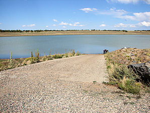 | 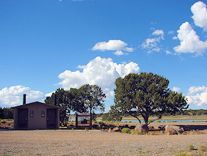 |
| Paved Boat Ramp Long Lake | Restrooms Long Lake |
|---|---|
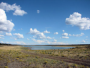 | 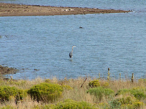 |
| Long Lake | Great Blue Heron Long Lake |
We Are Proud Of Our SafeSurf Rating!

Click On Any Of The Following Links By Amazon.Com
For Books, Videos, & Lures For Trout Fishing. No Obligation!
Click On Any Of The Following Links By Amazon.Com
For Camping Gear. No Obligation!
| Back To Mormon Lake Ranger District Lakes Page
|
| Back To Arizona Tours Page
|
| Back To DeLange Home Page
Images And Text Copyright George & Eve DeLange
|


