Near The Town Of Xpujil
On The Yucatán Peninsula, Campache, México.
Travel & Tour
Pictures, Photos, Images, & Reviews.
George & Eve DeLange
Google Map To The Becan Archaeological Ruins.
Near The Town Of Xpujil.
On The Yucatán Peninsula, Campache, Rio Bec Region, Mexico.
View Larger Map
We Are Proud Of Our SafeSurf Rating!
Click On Any Of The Following Links By Amazon.Com
For Books Or Videos About Touring In Mexico. No Obligation!
From the Book Of Alma, we read: ... the Nephites had dug up a ridge of earth round about them, which was so high that the Lamanites could not cast their stones and arrows at them ... neither could they come upon them, save it was by their place of entrance. Alma 21:152 . . the Lamanites could not got Into their forts of security by any other way save by the entrance, because of the highness of the bank which had been thrown up, and the depth of the ditch which had been dug round about ... Alma 21:170 ... upon the top, of these ridges of earth he caused that there should be timbers; yea, works of timbers built up to the height of a man ... upon those works of timbers, there should be a frame of pickets built upon the timbers ... and they were strong and high; and he caused towers to be erected that overlooked those works of pickets ... Alma 22:2,3 Critics of the Book Of Mormon say...."they never built such fortifacations in Mesoamerica." ...."So your Book Of mormon is wrong!" Well! The city of Becán has such defensive works surrounding the entire city ! So, it is one piece of evidence ! And in addition, another great city in the area, Tikal, about 90 miles away, has such a wall on the North side of the city.
For more information, we can also refer to "Becan: A Dramatic Validation of a Book of Mormon Warfare Pattern." By Raymond C. Treat.
|
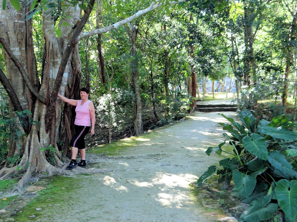 |
| Eve DeLange At The Bridge Over The Moat That Surrounds Becán Archaeological Ruins, Campache, Mexico. Photo Taken November 14, 2012. |
|---|
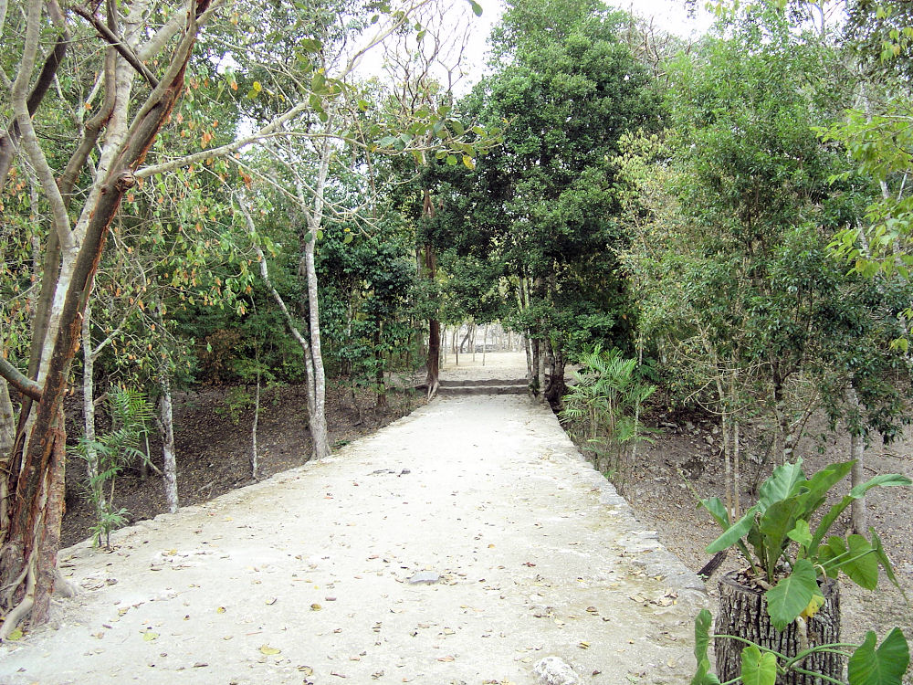 |
| Bridge Over The Moat That Surrounds Becán Archaeological Ruins, Campache, Mexico. Photo Taken February 2004. |
|---|
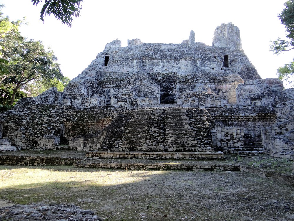 |
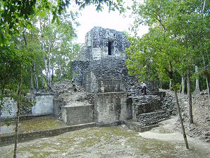
| Becán Ruins, Structure Four, Campache, Mexico. Photo Taken November 14, 2012. |
|---|
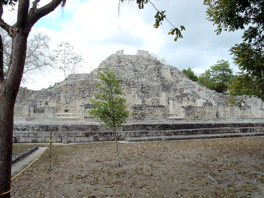 |
| Becán Ruins, Structure Two, Campache, Mexico. Photo Taken February 2004. |
|---|
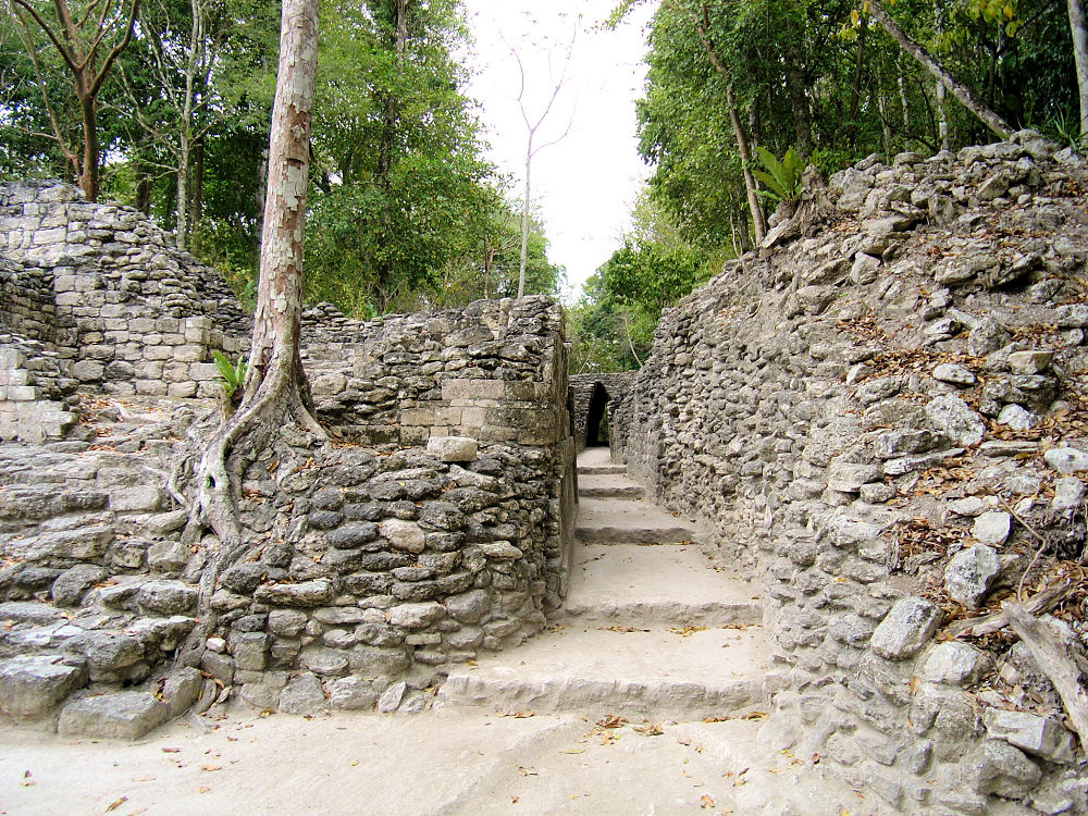 |
| Stone Defensive Wall With Tunnel, That Surrounds Becán Archaeological Ruins, Campache, Mexico. Photo Taken February 2004. |
|---|
 |
| Becán Ruins, Structure Four, Campache, Mexico. Photo Taken November 14, 2012. |
|---|
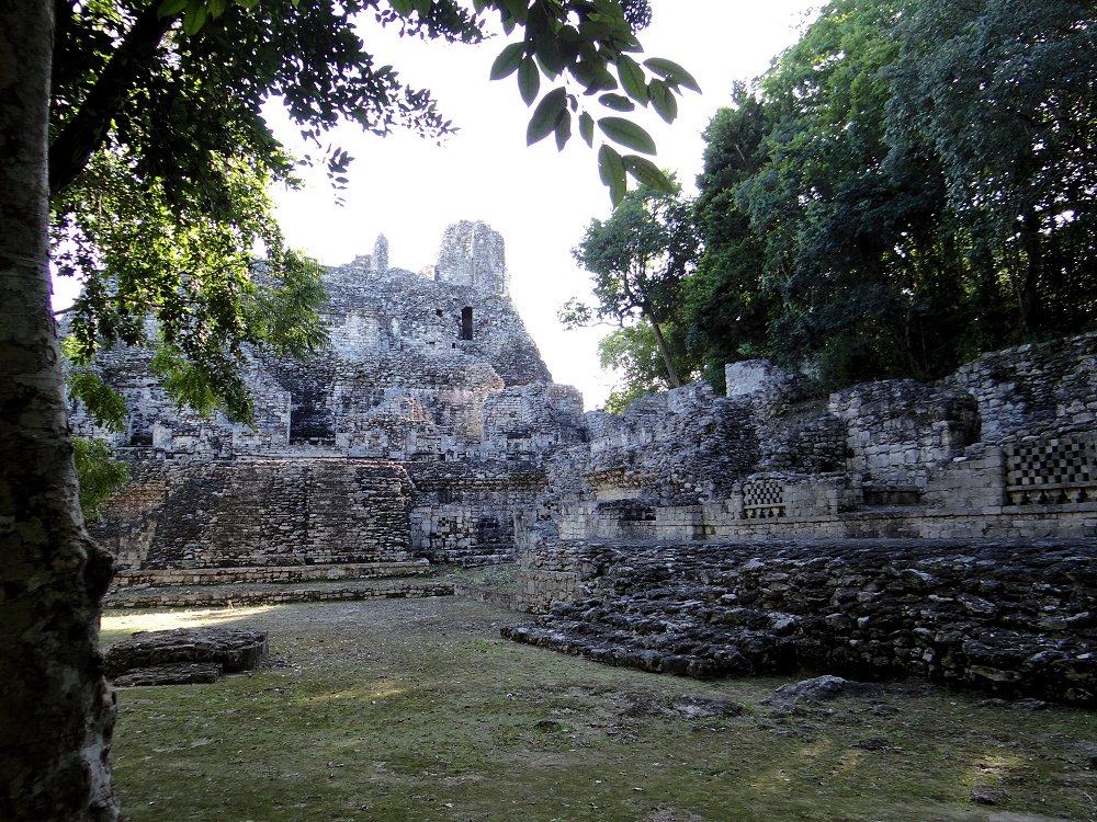 |
| Becán Ruins, Structure Four Straight Ahead, Structure Three On Right. Campache, Mexico. Photo Taken November 14, 2012. |
|---|
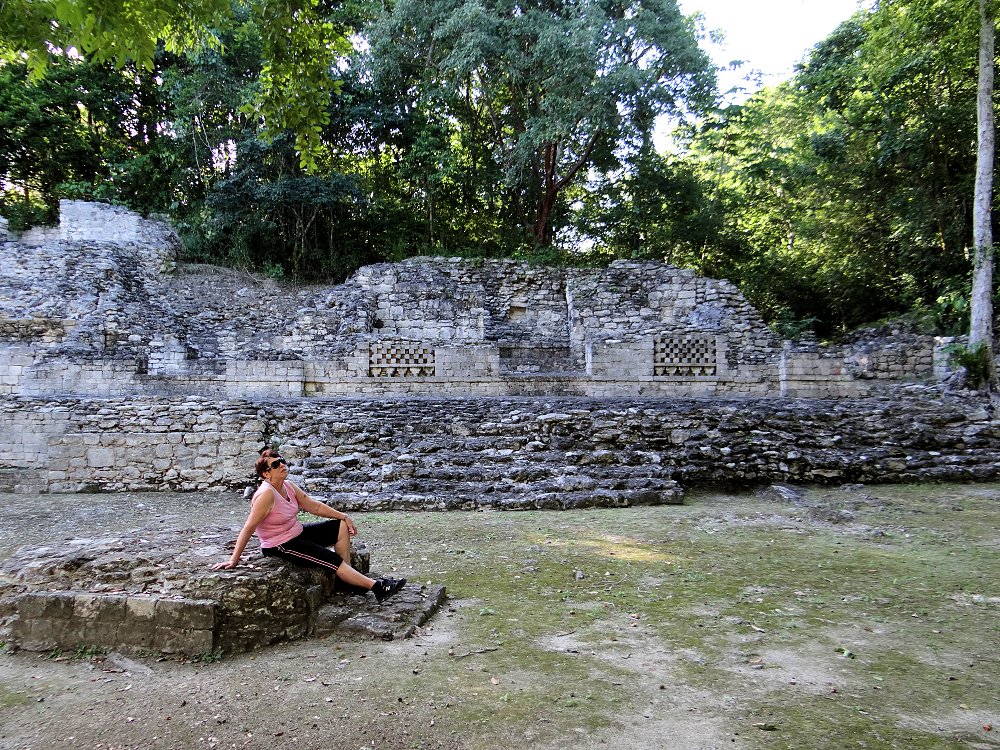 |
| Becán Ruins, Eve DeLange At Structure Three. Becan Ruins, Campache, Mexico. Photo Taken November 14, 2012. |
|---|
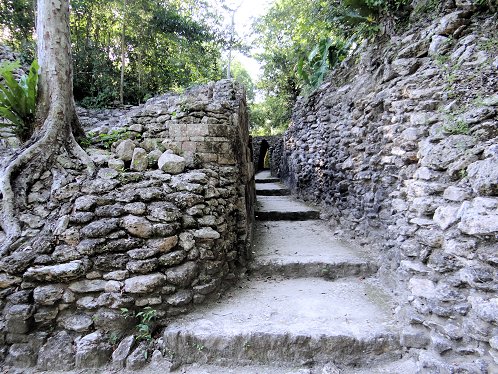 | 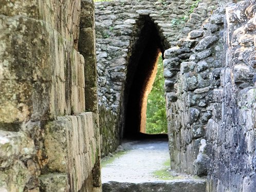 |
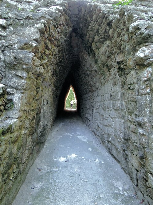
| Stone Defensive Wall With Tunnel That Surrounds Becán Archaeological Ruins, Campache, Mexico. Photo Taken November 14, 2012. | Stone Defensive Wall With Tunnel That Surrounds Becán Archaeological Ruins, Campache, Mexico. Photo Taken November 14, 2012. |
|---|---|
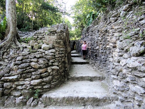 | 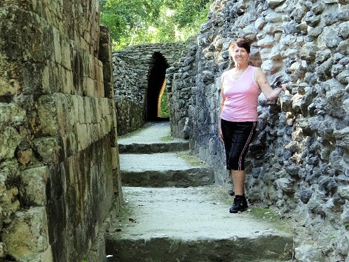 |
| Eve DeLange At Stone Defensive Wall With Tunnel That Surrounds Becán Archaeological Ruins, Campache, Mexico. Photo Taken November 14, 2012. | Eve DeLange At Stone Defensive Wall With Tunnel That Surrounds Becán Archaeological Ruins, Campache, Mexico. Photo Taken November 14, 2012. |
 | 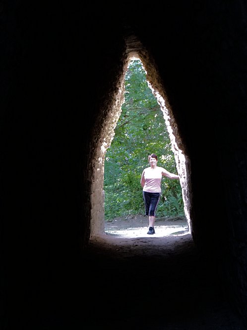 |
| Eve DeLange At Stone Defensive Wall With Tunnel That Surrounds Becán Archaeological Ruins, Campache, Mexico. Photo Taken November 14, 2012. | Eve DeLange At Stone Defensive Wall With Tunnel That Surrounds Becán Archaeological Ruins, Campache, Mexico. Photo Taken November 14, 2012. |
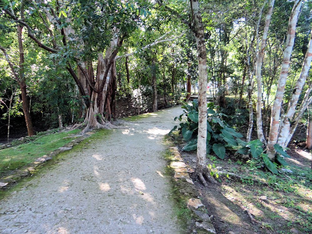
Becan, or Becán, Campeche, is a Mayan ruin in the area now commonly being called the Río Bec Region. The name Becán was bestowed on the site by archaeologists who rediscovered the site. Becán in the Mayan language means "ravine or canyon formed by water" in Yukatek Maya. Named after the site's most prominent and unusual feature, its surrounding artificial moat! Becan was built between A.D. 200 and 600. There is a moat and defensive stone wall that runs the entire circumference of the city which covers 25 hectares. Looking at the Google satalite map you can easilly see the circled area that the moat and wall creates. The moat, surrounding Becán, is the only one as yet discovered in the Mayan world. It was used as a fortification around the limestone structured City to protect itself from other trading and religious centers. The moat was built sometime between AD 100 and 250, as a defensive ditch or moat surrounding the ceremonial city and reservoirs. And the dirt from the ditch was piled up and stones were put in place to also create a fortified wall around the city. Seven entrances have been discovered where a person could cross the moat and enter the city. These entrances could have been easily defended. This type of defensive structure is somewhat rare in the Mayan World. We know of no other cities with a moat and only two others with a defensive wall. Today the moat is about 4 meters deep and 15 meters across. It was much deeper when first constructed during the early years of Becán's history. Archaeologists think it was partially filled in about 700 AD. Becán's oldest permanent structures have been dated to about 550 BC. Clay works and figurines have been found from Teotihuacán which provide links to trade, and perhaps wars amongst Becán, Tikal and Teotihuacán. Its' name can also be interpreted to mean, “The Way of the Serpent” ("Be" means camino or roadway; "Kan" means serpent). It has that name, because of the moat that twists in an irregular size and shape. Becán dates to about 600 BC and it reached its peak between 600 and 1000 AD. It was a major political and military center and iit was one of the many cities that fought against Tikal for dominance in the region. The three sites; Becán, Xpujil, & Chicanná are easy sites to visit of the Rio Bec Region located in the Mexican State of Campache on the Yucatán Peninsula. There are many others but they are not easily seen by tourists. A word about the Río Bec Region. The words Río Bec refer to a style of the temple pyramids which are located in the central Maya lowlands. The temple-pyramids are characterized by a unique architectural style that began to appear during the seventh century A.D. and continued into the early twelfth century A.D. The temple - pyramids usually have what is called a range-type of building with a similar looking, nonfunctional tower; on each of the opposit ends of the range-type building. As the height of the twin towers increases, the twin towers narrow; giving the illusion of being greater in height than they actually are. In addition, the twin-towers appear to have stairs along their faces leading to the temple that rests atop them. However, the steps are only a design motif that creates the illusion of functional stairs. The temples, which appear to be located on the singular platform at the top each of the Río Bec towers are solid masses of design stone, with no interior rooms, so they are inoperative as well. Also, there are Pseudo-doorways, built into niches, located at the fronts of the temples, giving the temple the appearance of having a functional door. The purpose of the Río Bec temple-pyramids is unknown at this time. But, they are pretty! Becan is located 160 km from Escarrcega on highway 186; 6 km west of Xpuhil city. The ruins were linked with Chicanná about one mile away, as well as Xpuhil, and Becan is easily reached by car. Our GPS coordinate at the front gate is: at 18o 30' 56.14" N 89o 27' 57.45" W. Elevation 902 feet. The cities of Balamku, and Calakmul are also nearby.
|
The Ing. Alberto Acuña Ongay International Airport (IATA: CPE, ICAO: MMCP), also known as Campeche International Airport, is the international airport located in Campeche, Campeche, Mexico. It handles the national and international air traffic of the city of Campeche. It's operated by Aeropuertos y Servicios Auxiliares, a federal government-owned corporation. There are several good hotels or motels in the Campeche area, and if you need a place to stay; Priceline.com can arrange that for you. In fact, we think they are the best way to do it! We also have links on this page, that will connect you directly with several of the best hotels in in the Campeche area. Hotels that we have personally used! We suggest getting a hotel, and then letting them arrange for either a car, or a tour of the Campeche area and/or the Río Bec Region. If you call their Concierge Services, ahead of your arrival, all of this can be pre-arranged for you. We have used this method, many times, when traveling in Mexico. We have found it to be safe and it works!!! We have never experienced a problem, doing it this way! Our first choice for exploring this region (only due to their location) is the Chicanna Ecovillage Resort at Xpujil. It is an OK place to stay but, don't expect a 5 star rating hotel. Their staff is not known to be helpful. There are no other nice places to stay in this central location. Hotels that are higher rated are only found in Campeche. We have personally, booked flights, hotels, and vacations, through Priceline.com and we can highly recommend them. Their website is very easy to use! We have some links to Priceline.com on this page, since they can arrange all of your air flights, hotels and car. We of course, appreciate your use of the advertising on our pages, since it helps us to keep our pages active.
|
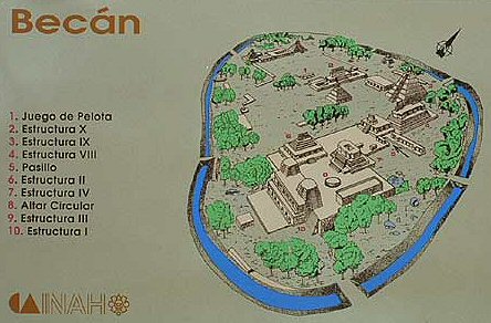 |
| Becán Map From Sign At Entrance To The Site, Drawing By David F. Potter. |
|---|
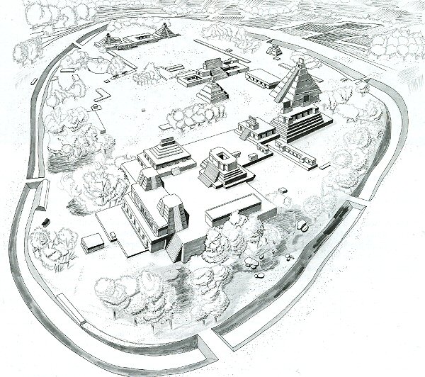 |
| Becán Drawing By: Ruben Gomez, Raices Basado, & Paul Gendrop. |
|---|
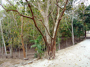 | 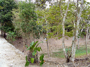 |
| It Is Thought The Moat. | Was For Defense Purpose. |
|---|---|
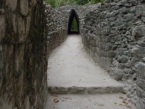 | 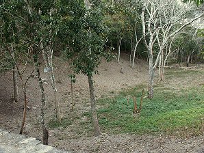 |
| Arched Tunnel Through Defensive Wall After Crosing Over The Moat. | Dry Moat That Surrounded Becan And Was Filled With Water. |
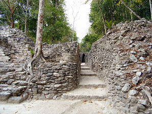 | 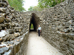 |
| Vaulted Tunnel Running East-West Along The Ruined Structure VI. | Audrey DeLange Entering Vaulted Tunnel Looking West Toward Tunnel. |
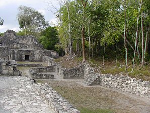 | |
| Looking Toward Structure VI From Central Plaza | North Side Of Structure IV From East Plaza |
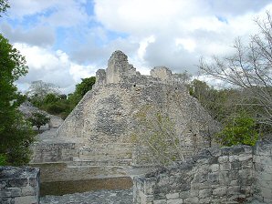 | 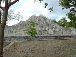 |
| Structure IV, Courtyard On Top. | Structure Two |
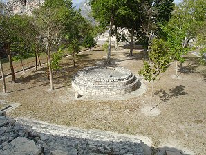 | 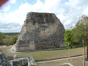 |
| Circular Altar | Back View Of Structure One |
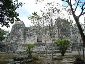 |  |
| Structure IV With Monster Mask | Audrey De Lange At Becán Structure IV. |
Click On Any Of The Following Links By Amazon.Com
For Books Or Videos About Touring In Mexico. No Obligation!
Becán, Rio Bec Region Ruins, Page 2
Back To Possible Book Of Mormon Lands.
Back To LDS Historical Sites.
Other Rio Bec Region Ruins!
Other Rio Bec Region Ruins!


